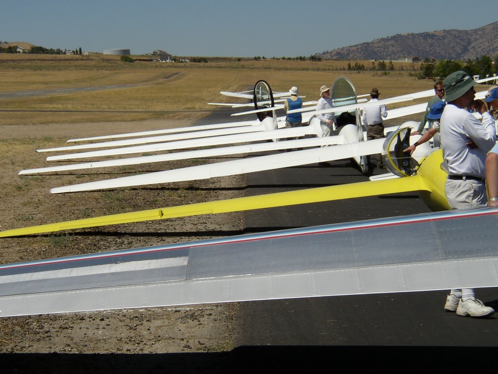
The club is on a weekend campout to Mountain Valley Airport in Tehachapi. Yesterday I had a 1.5 hour flight in the PW5, my first time flying solo at Tehachapi and my first time flying the PW5 anywhere but Hemet. Good strong lift under CU clouds. I got to 12,800 MSL, my highest ever. I did not leave the valley area, because I had not done enough planning yet, and because H was to fly the ship after me. I ended up with 1:35 total. Strong day! Lots of ships following obvious cloud streets to the north.
Today L gave some of us some route and waypoint and landout site pointers using the relief map wall. I plugged some informal goal points into my GPS database. The weather was just as good as yesterday! H flew first and got to 12,500 easily. Because of timing, equipment (Volkslogger was left at Hemet) and not wanting to push too far, I did not declare the flight. But I had Silver requirements in mind.
I found good lift on tow at 3000' AGL but was lower over the Tehachapi mts than I liked. So I held on and 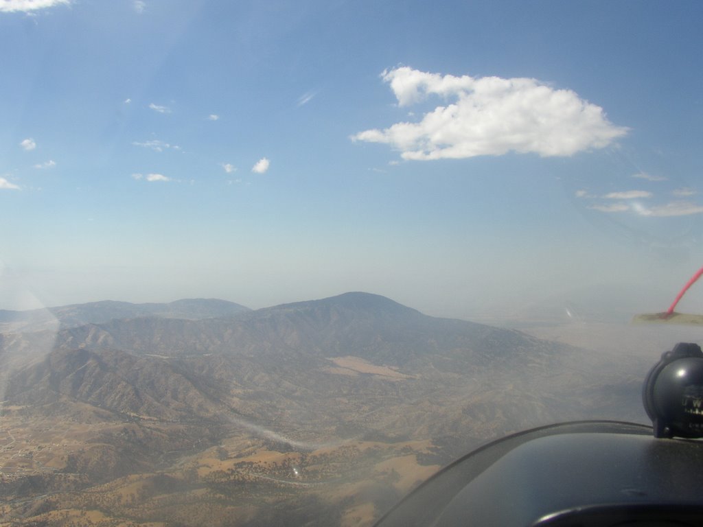 again got good lift at 4000' AGL. That thermal took me up to over 12K MSL. I followed my plan and followed decent lift under CU along the ridges at the east end of the valley. When I found lift over Cache Peak (already the farthest I'd been from MVA) I knew I was on my way.
I followed the cloud street, between 12K and 13K, along the east side of Kelso Valley. At one point I was down to 8500 MSL and had to backtrack to lift. I found the Rockpile and a good house thermal. I rode that up to over 14K and fairly near the clouds. That enabled me to head north toward Walker Pass. I got about halfway there and decided to turn back due to lack of lift.
Back at the Rockpile I found the same thermal. Looking up I saw a glider circling about 3000' above me. I took that one all the way up to 15,100 MSL (just 500' under the clouds), my highest ever! Rather than try Walker again, I set up for a long final glide back to MVA.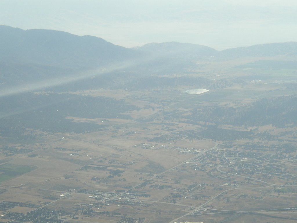 All the way southbound, I was in nearly zero sink. Very smooth. I had time to play with airspeeds and resulting L/D, comparing the speed-to-fly recommendations of my GPS and the Borgelt in the ship. When I got back to the Tehachapi valley I had about 5000' to spare! After burning up that altitude I ended up with a 2:17 total time.
The only bad part was that my landing was not great. I got a little off on my direction while floating in ground effect, didn't notice my airspeed while correcting, and stalled it at about 1-2 feet, landing with a thump. Rollout was kind of wandering, due to a bit of crosswind and the small rudder of the PW5. But I ended up rolling off in just the right place.
Reviewing my map and GPS navigation, it looks like a 31.2 nm distance - just over Silver distance! And certainly my altitude gain was over Silver, too. So if I'd declared it, I'd be 2/3 of the way there!
Not bad for a first XC venture.
No comments:
Post a Comment