The wind was from the south and there was enough moisture in the air that cumulus was a possibility, with cloudbase at 10,000 to maybe 13,000 feet, but little chance of overdevelopment into thunderstorms. One of the very experienced instructors came back from an early flight, so we asked him what it was like up there. He said, "Confusing, but there's lift everywhere." Now, if THIS guy thinks it's confusing, you know it'll be a challenge for low-time pilots like me.
The soaring textbooks show simple, idealized diagrams of thermals, ridge (orographic) lift, and wave lift. In the real world, It's Complicated. Those types of airflows intersect, interact, and interfere with each other. Figuring out exactly what's going on can be, as he said, Confusing. Why worry about what kind of lift it is, why not just fly in it? Well, in thermal, you typically circle. In ridge, you go back and forth following the contour of the ridge, in the "sweet spot" above and maybe a little downwind from it. In wave, you go back and forth in a (possibly long) vertical zone, or sometimes fly directly into the wind. So... if you guess wrong about the type of lift you're in, you're likely to fly in the wrong direction, and right out of the lift.
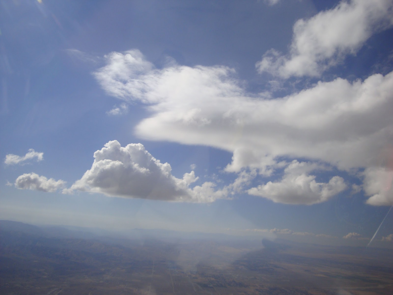
From the ground, I saw the mountain peaks (9,000 and 10,000 feet tall) creating an expanding trail of cumulus clouds. But the clouds didn't start
above the peaks, they started
downwind of the peaks, and at about the same level. So they did not act like classic orographic CU. This picture kind of shows it but not too clearly - the clouds spawned from the left and grew larger to the right, out of the frame:
Here's a sketch of how it would have looked from the side:
And from above:
Once in the air, I found lift under each of these "wakes" of clouds. What kind of lift? It was wide enough to circle in, like thermal, and strong: I gained 5,000' in no time. But it was windy, which usually tears apart thermals. It was downwind of the peaks, like wave... but it was not smooth, and the clouds were puffy like CU, not smooth lenticulars. And it was downwind of the peaks, not starting over it as ridge lift would be. So... it was something else. I came to think of it as "wake" lift, triggered by the peaks like wave, going down and then up like wave, but turbulent enough to make puffy CU instead of smooth lennies. And in front of the leading point of each "wake", there were clouds that were NOT rising and puffy, but rather ragged and rotating: rotor cloud as you would see below a wave:

Imagine three rocks in a stream. They make V-shaped wakes which go up and then down and then up, and get turbulent downstream. And if the rocks are close enough, the wakes start interacting. Remember "constructive interference" from physics? The wakes can constructively interfere and the lift can add up to be stronger and higher than the wakes. And that is just what I found. Where the V-shaped cloud streets started to come together, I saw a small, smooth lennie! Right in the middle of this picture, you can see the smooth, rounded, fuzzy leading edge of it. The CU in the lower left is in one of the wakes, and there were other CU's directly behind me.
The lennies were wedged between the wakes as shown in the next sketch. The wakes eventually merged into a solid mass of CU.
I got up to cloudbase under a wake, then left the wake and approached the leading edge of the lennie, hoping to find smooth wave lift, and I did. (That's the first time I have actually been close enough to approach a wave cloud and find the lift. Up to now, my experience with wave lift has been in clear air.) The wave lift was pretty narrow, and I could not move very far without getting out of it, but it did take me up above the CU cloudbase, which is pretty rare. In this next pic, you can see the edge of the lennie again, and look downward at the base of the CU:
I went as high as possible under the leading point of a wake, and then tried to hop to the peak that was triggering it, but that was directly upwind. The cloudbase was about 2,500 feet higher than the peak, but since I had to fly upwind that was barely enough to get to the peak with a safe margin of altitude. I was able to overfly Mt. Baden-Powell, but not Mt. Baldy.
Confusing and complicated - but enlightening! I did not go far, I went all around the airport trying to visualize what the air was doing, trying out and verifying theories. Sure enough, there was lift everywhere, and the corresponding sink was not very strong. I easily stayed up for two and a half hours. Unfortunately my flight recorder malfunctioned so I don't have a flight trace, but I did get some pretty good pictures of these interesting situations.